UN
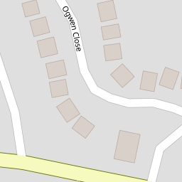
9 Ogwen Close
£ 195,000
Description
We don't have a Description for this property.
- Bedrooms
- 4
- Bathrooms
- 0

Leaflet © OpenStreetMap contributors
The heatmap indicates the level of crime in the area. The color of the heatmap indicates the crime severity and recency.
Metrics Year-on-Year
- Average area value
- 363,275.00 £Increased by 0.98 %
- Average area rental value
- 922.00 £/moDecreased by 1.28 %
- Est rental Yield
- 3.05 %Decreased by 2.24 %
- Crime Rate
- 6.00 %Unchanged by 0.00 %
from 359,732.00 £
from 934.00 £/mo
from 3.12 %
from 6.00 %
Nearby Schools
| Name | Type | Ofsted | Distance |
|---|---|---|---|
| Ysgol Penrhyn New Broughton Primary | Welsh Establishment | 0.28 KM | |
| Brynteg County School | Welsh Establishment | 0.95 KM | |
| Tanyfron C.P. School | Welsh Establishment | 1.78 KM | |
| Black Lane C.P. School | Welsh Establishment | 2.13 KM | |
| Ysgol Heulfan | Welsh Establishment | 2.23 KM |
Images
Nearby Streets
| Name | Average Price | Average Sqft | Distance |
|---|---|---|---|
| Arfryn | £ 0 | 0 | 0.00 KM |
| Cherry Field | £ 180,000 | 0 | 0.00 KM |
| Lansbury Grove | £ 140,000 | 0 | 0.00 KM |
| Coed Efa Lane | £ 0 | 0 | 0.00 KM |
| Darby Road | £ 175,000 | 0 | 0.00 KM |
Nearby Transport
| Name | NLC | TLC | Distance |
|---|---|---|---|
| Gwersyllt | 4300 | GWE | 2.52 KM |
| Wrexham General | 4487 | WRX | 3.59 KM |
| Wrexham Central | 4486 | WXC | 4.06 KM |
| Cefn-Y-Bedd | 2425 | CYB | 4.68 KM |
| Caergwrle | 2536 | CGW | 5.68 KM |
Nearby Listings
| Address | Price | Type | Score | Distance |
|---|---|---|---|---|
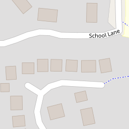
| School Lane, Southsea, Wrexham | £ 285,000 | BUY | 6 / 10 | 0.12 KM |
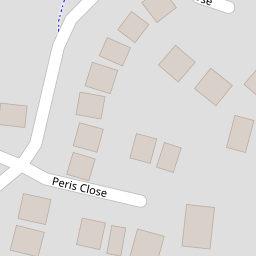
| Peris Close, New Broughton, Wrexham, LL11 | £ 210,000 | BUY | Unknown | 0.17 KM |
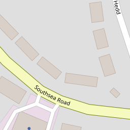
| Southsea Road, New Broughton, Wrexham | £ 325,000 | BUY | 7 / 10 | 0.21 KM |
| Bryn Hedd, Southsea, LL11 | £ 120,000 | BUY | 5 / 10 | 0.23 KM |
| Rhodfa Tegid, New Broughton, LL11 | £ 220,000 | BUY | 5 / 10 | 0.25 KM |
Nearby Properties
| Address | Price | Distance |
|---|---|---|
| 9 Ogwen Close | £ 195,000 | 0.00 KM |
| 15 Ogwen Close | £ 198,000 | 0.00 KM |
| 18 Ogwen Close | £ 219,000 | 0.00 KM |
| 7 Ogwen Close | £ 185,000 | 0.00 KM |
| 1 Ogwen Close | £ 205,000 | 0.00 KM |